
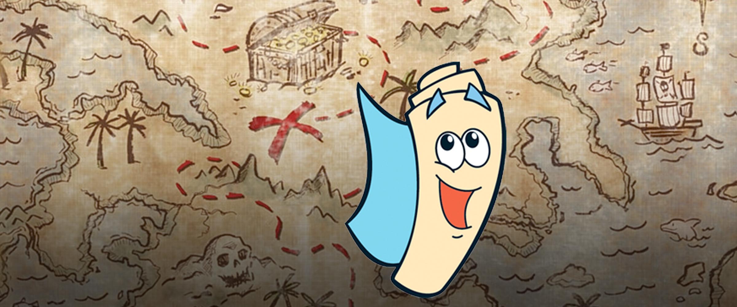
What if Dora’s Map Were Real?
 As an explorer, beloved Dora is often found in the business of travel, and even more often, she is going where no one has gone before. Well, at least she’s going somewhere she hasn’t gone before. And what better tool to help her in her explorer duties than a map? She has no ordinary run-of-the-mill map, however. Would you expect anything else, really? She’s Dora the Freakin’ Explorer.
The map, once Dora gives it the destination, sings a repetitive song as though it must continually reassure itself of its identity. It then gives Dora very simple visual directions that can be broken down into three steps, one of which is the destination. On top of all this, the map is paper-thin. Although Dora probably owns the patents, we shall herein attempt to logically reverse-engineer the technology inside her navigational gadget.
Requirement #1: Voice Recognition.
The fact that Dora can simply talk to her map is no small feat, and is a relatively new addition to portable technology in smartphones. Considering that the map must be paper-thin, how can a microphone possibly fit in there? Well, it turns out that the world’s smallest microphone is 0.5 mm squared on a flat capacitor. Dora’s making use of mics that were developed for hearing aids, and transforming them into her personal aid. And with a device that small, it could easily be rolled up. So far, so good, mi amiga.
Requirement #2: Computing Power.
What about the signal processing the map must do? Thin-film transistors or even single-atom transistors are some technologies that enable a large density of computations for a very small area. IBM’s fastest transistor, a graphene transistor can perform about 155 billion cycles per second (155 GHz), and measures only 40 nanometers a side. But are these latest technologies enough juice for our bilingual explorer’s navigational needs? Before we can answer this we have to determine what exactly Dora’s needs are.
Requirement #3: Offline map storage.
It was only very recently that Google enabled offline storage of its maps. Since Dora is found in the most remote of locations with no GPS, WiFi or cell coverage, we have to assume that the Map has some offline storage. Supposedly 500 MB will store about 100 square kilometers of Google Map data. Dora is rarely around any other humans, so in order to know how much storage she needs, we need to know how much of the Earth is unpopulated.
Apparently 29% of the Earth’s surface is land, 28% of which is mostly unoccupied. If we discard deserts, Antarctica, and agricultural areas, we’re left with 40% of uninhabited areas… which constitute 11% of the Earth’s surface. This is 56 million square kilometers that Dora could potentially explore. Now you know how she got the name.
Some quick math leads us to the realization that Dora’s Map requires 280 TB (terabytes, 1,000,000,000,000 bytes) of informational storage capacity if it is to operate offline. This would cover all the images, jungle views, distances and topographical information.
Researchers in the U.K. have demonstrated flexible storage–based on thin-film zinc-oxide (ZnO) transistors–that could replace FLASH in coming years. Apparently the storage density is already up at 1 TB/square inch. Is this enough for the Map?
If we assume the Map to be an average folding map size, 25.5″ x 35.5″ (65 cm x 90 cm), we get 900 square inches, or 5800 square cm. (Sidenote: you don’t want to know what I found while searching for that information). That means that if Dora’s Map uses ZnO transistors, there’s lots of space for storage–up to 900 TB.
Requirement #4: Flexible screen with power.
Organic thin-film transistors and OLEDs, which have very high flexibility, were combined and first demonstrated by Sony as the realization of screens that could be rolled up like Dora’s map. However, in Sony’s version, the rigid integrated circuit (IC) chips for a lot of the processing–that would prevent roll-up–were moved off-screen, which is not an option for Dora’s map. So we have the screen technology, but do we have the flexible chips to do all that number-crunching?
Apparently we do, but it’s pretty early technology yet, mostly at the research stage. Many aspects of the process (silicon cracking when you get to really small thicknesses) are uncontrolled and hard to reproduce, which makes the Map grow ever more impressive as a technological wonder. Humanity is slowly catching up to Dora, though: in the last few years the Korean Advanced Institute of Science and Technology has demonstrated flexible RAM (random-access memory) capable of writing, reading and erasing data.
Also in Korea, researchers have developed flexible Lithium-ion batteries that exhibit fluid-like behaviour in order to enable compression when bending (unlike most liquids). We don’t know how long the batteries can operate, but on average the map is online on for two minutes per Dora adventure, so presumably she can charge it between trips.
Requirement #5: Flexible speaker.
The Map gives visual as well as verbal instructions, and again, all of this has to be capable of being rolled up and stuffed into a backpack. Thankfully, Fujifilm has tweaked piezoelectric technology to make sound-producing diaphragms that you can practically blow your nose with. So that’s how the Map’s catchy tunes get passed through the airwaves.
Requirement #6: Simplifying Algorithms.
Now we have all the data and hardware that we need to get our instructions from the Map. We’ve come, however, to what is arguably the Map’s most difficult challenge: the ability to parse a complicated route into 3 distinct landmarks that will ensure Dora the Explorer does not become Dora the Wandering Hermit.
Vision-based navigation is an entire branch of computational study, and a large number of matrix manipulations and calculations are required to determine the direction and location of a given object. There are inherent errors in such calculations, but the real challenge is how to pick the landmarks in the first place.
In what might seem an unrelated field of study, there are algorithms for determining facial features which are attractive, and they use morphological shaping and genetic (adaptive) algorithms applied to a broad database of what is considered “attractive”. At the end they come up with a series of shapes and features which are desirable.
Using the same logic and general algorithm formulation, then, the Map could sort through its database of maps and come up with what the average human being calls a “landmark”. It could rank them on uniqueness, and relevance to the given route in question, then provide the instructions through its flexible Fujifilm speaker.
However, since Dora is a young child making developmental leaps every day, what is considered a “landmark” for her age changes dramatically in a short period of time. Thus the Map must update his database of “landmarks” on an ongoing basis. Since we’re pushing the boundaries of almost every piece of electronic technology in existence, chances are that Dora doesn’t leave the Map running any longer than it needs to, in order to conserve battery power and save the planet (which we can readily assume she wants to do).
Therefore, the only time in which the Map can update its inventory of human-perceived “landmarks” is when Dora asks it for directions, the two-minutes during each of her epic explorations. The Map now encounters the same constraints and demands placed on any other piece of technology: we want it to work fast.
The Verdict
The technological possibility in terms of hardware and computational power makes the Map almost within reach of current technology. What seems to be the most likely area where the Map weakens, however, is in the computational demands placed upon it. Trying to sort through a potential 280 TB of data and determine what Dora currently, in her present state of mind, qualifies as a “landmark”, is an extremely onerous task, and the most likely reason for glitches in the Map’s performance. Thus despite all the technological marvels that have gone into its creation, the Map still gets stuck in repetitive loops, playing the same audio (“I’m the Map I’m the Map I’m the Map…”) over and over until it’s finished using its resources for the direction computation. It is also very likely that while it is giving the directions, the Map rechecks its results based on Dora’s reaction, in a sort of error-checking feedback loop. In that manner it repeats the instructions, ensuring acceptance by the user and positive response that these are indeed landmarks that will bring Dora to her destination.
Not a bad piece of hardware, Dora. No está mal.
Be sure to check back next week for the next “What if” segment. Have suggestions for the next article? Post them in the comments or e-mail hal.friesen@gmail.com.
Nice analysis. I have to say I never fully appreciated Dora before or her technological expertise. It’s nice to know that all the tech advances in the world are being used to such a good purpose as keeping Dora from getting lost. In this article, your writing and subject matter remind me a little of early Isaac Asimov when he was writing his weekly magazine column.
Thanks, Alicia 🙂 I’m honored to be even slightly reminiscent of Isaac Asimov! I guess he rubbed off on me.
Wow, such sophistication. First we dream it up, and then we make it. And, just think of the number of people who will soon be shopping for Dora maps!
Pingback: Using Maps for Social Justice | love from lauren